Simulation 01
Rocket launch exhaust
Follow a launch timeline while exploring research-based estimates of exhaust composition and atmospheric dispersion.
Public event timingModeled plume
Modeled educational simulation — not a live sensor feed
Official Project Status Notice — September 21, 2026
Notice is hereby given that all physical field validation operations and upcoming development phases for the 1:1 scale Marconi Wireless Towers reconstruction at Wellfleet, MA, Cape Cod, are placed on hold.
Following the completion of over $3,000,000 in resilient community, public safety, and maritime software applications, this platform has received zero reasonable interest from potential end-users.
While our underlying near-geospatial routing loops, Haversine math, and tripod-stabilized orientation data-smoothing code are mathematically finalized under core commit 86d9474, further field validation and retail hardware deployment are suspended until institutional B2B procurement allocations or hardware pipeline sponsorships are secured by external entities.
The core software technology remains fully compiled, active, and indexed — becoming finalized now as an unassailable wall of permanent public prior art.
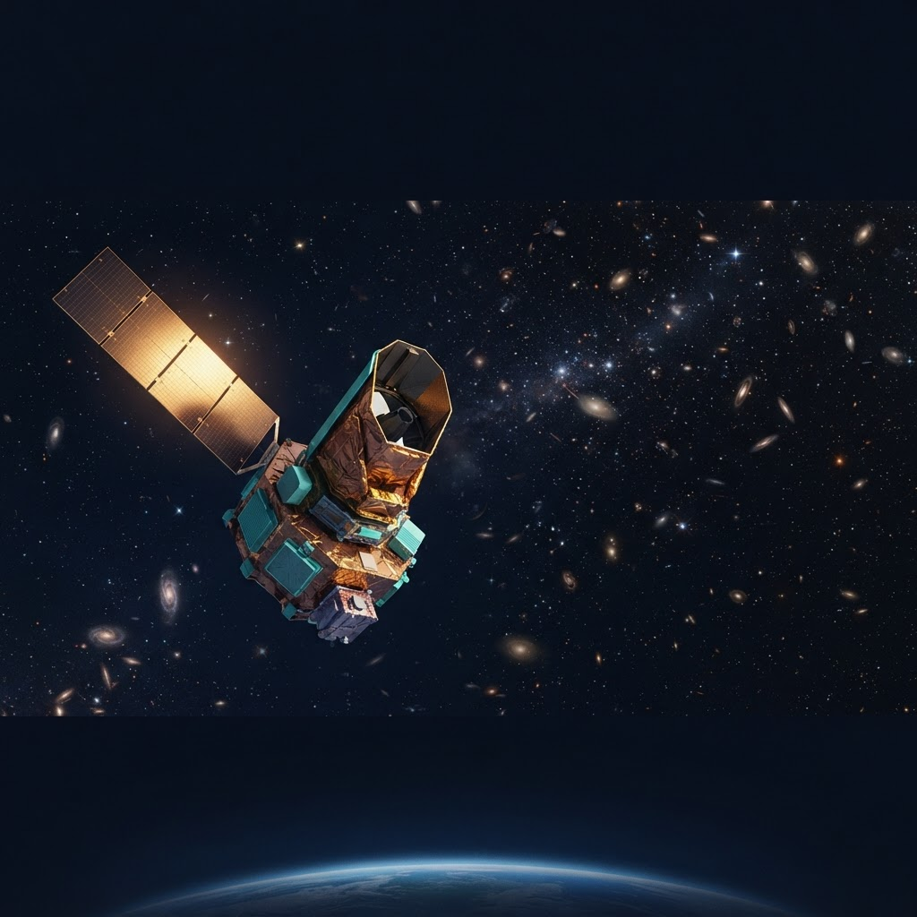
Roman AR Space Explorer
An augmented-reality education and virtual-tourism concept inspired by NASA's Nancy Grace Roman Space Telescope, designed to grow into a 3D cockpit with real-time telemetry, launch exhaust, reentry, and metallic-particle visualization.
Ground facility locator
Roman itself will orbit far past any distance a handheld compass can meaningfully point toward. This HUD instead uses your device's real GPS and orientation sensors to compute a live bearing and distance to NASA Goddard Space Flight Center — the real facility assembling and testing the telescope.
Roman itself will operate roughly 1.5 million km away, at Sun-Earth L2 — there is no physical direction on Earth a compass can point toward it. This HUD instead points to NASA Goddard Space Flight Center in Greenbelt, MD, where the observatory is being assembled and tested — the nearest real, visitable site tied to the mission.
This device has no WebXR immersive-ar session support (or none was detected). What follows is a directional aid, not a camera-locked overlay: it points toward Goddard and estimates distance from GPS, without tracking the physical terrain.
Bearing to Goddard
Share your location to see live distance and bearing to NASA Goddard Space Flight Center.
38°59'33"N, 76°51'09"W · Greenbelt, MD
Bearing and distance are computed on-device from your GPS fix and orientation sensor — no server round-trip required once location access is granted. This does not simulate seeing Roman itself; the telescope will orbit far beyond any distance a handheld compass reading is meaningful for.
Mission education
Roman is designed to survey large areas of the sky, helping researchers study dark energy, exoplanets, and infrared astrophysics. Mission schedules can change; NASA remains the source for current launch and mission information.
Explore the wide-field telescope, its instruments, and the questions it will help scientists investigate.
Follow a guided launch timeline from ignition through deployment using public event milestones when available.
Travel through simulated wide-field surveys of galaxies, dark-energy research, and exoplanet discovery.
Learn how observatories orient, communicate, collect data, and maintain stable operations far from Earth.
Future timelines may follow public launch or orbit updates. Plume dispersion, breakup behavior, and metallic deposition remain educational models based on assumptions and public research.
Follow a launch timeline while exploring research-based estimates of exhaust composition and atmospheric dispersion.
Examine how trajectory, vehicle design, speed, and atmospheric conditions affect heating and possible disintegration.
Explore modeled pathways for metallic particles from reentry—not measured local concentrations or a live dust sensor.
Important: These models will not claim precise health effects, climate impacts, atmospheric concentrations, or local deposition. Reentry outcomes vary by spacecraft design, trajectory, material, and atmospheric conditions; some objects may not fully disintegrate.
Coming-soon subscriptions
These are preview concepts. No payment is being collected and no launch access or physical travel is included.
Educators & students
Standards-friendly Roman mission lessons, guided simulations, discussion prompts, and classroom journey controls.
Curious public explorers
Narrated digital journeys through launch, orbit, sky surveys, exoplanets, and responsible spaceflight education.
folio-pin is an independent educational concept and is not endorsed by NASA, spacecraft operators, launch providers, or tourism companies. Future public feeds may be delayed, incomplete, or unavailable. All environmental outputs shown here are conceptual until a validated data and research pipeline is established.